Plan
Airspace, authorizations, and elevation coverage worked out before the flight. Downtown Chicago is controlled airspace — the LAANC authorization and any site access are handled in advance, not on the morning of.
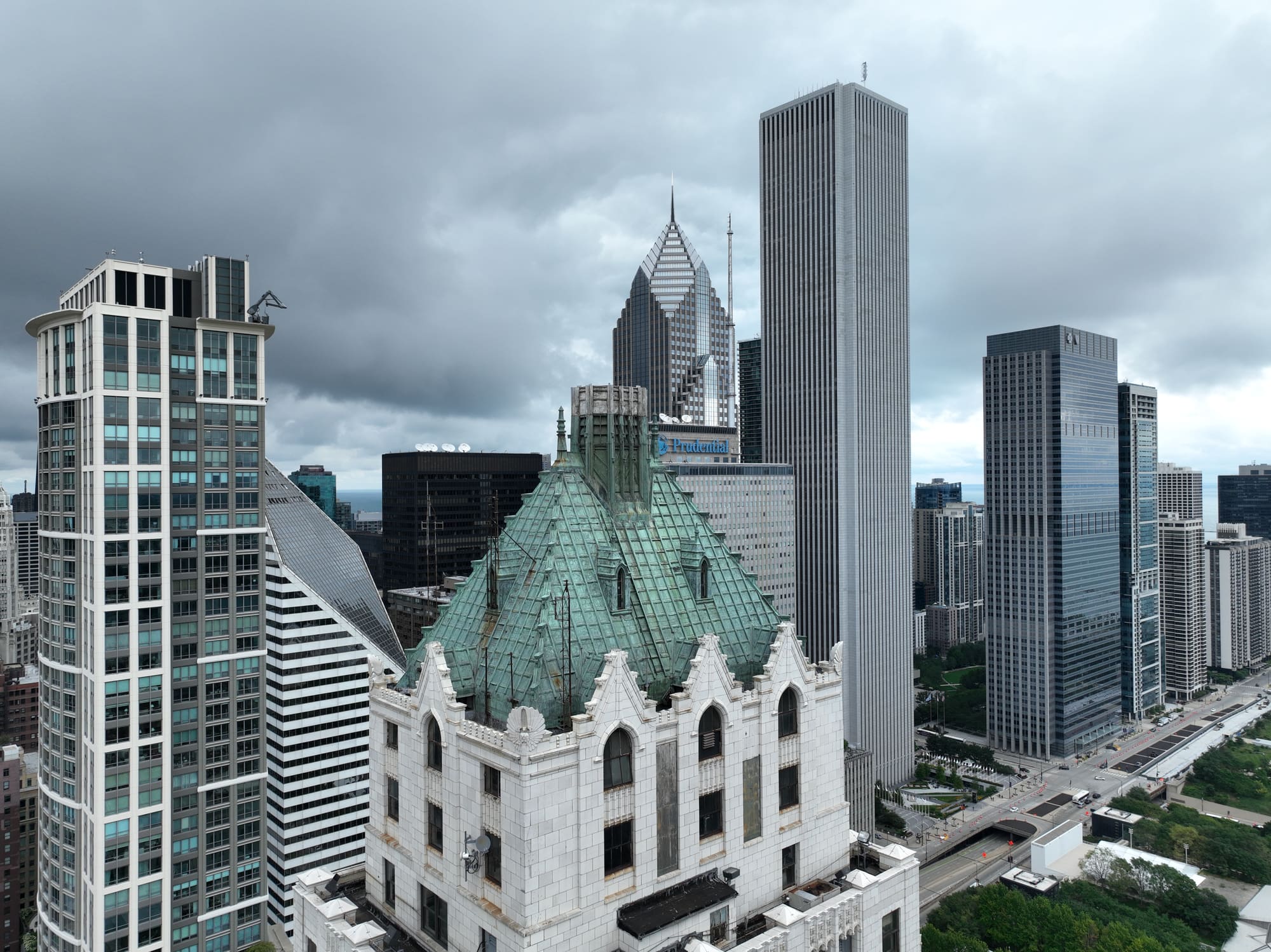
A close-range visual survey of the elevations, flown at standoff distances a swing stage cannot reach quickly and a spotting scope cannot resolve — delivered as a condition report, not a photo dump.
Airspace, authorizations, and elevation coverage worked out before the flight. Downtown Chicago is controlled airspace — the LAANC authorization and any site access are handled in advance, not on the morning of.
Systematic coverage of each elevation at a fixed standoff and overlap, so the imagery is comparable elevation to elevation and year to year. Detail passes on anything that warrants it.
Conditions located, indexed, and described. Where the scope calls for it, systematic overlapping capture ready for your team's photogrammetry processing. Delivered in a form your architect or engineer can reference directly.
| Format | Annotated condition report, indexed by elevation |
|---|---|
| Imagery | Full-resolution stills, retained and re-deliverable |
| Optional | Thermal overlay — see thermal services |
| Turnaround | Delivered within 5 business days of the flight |
| Pricing | Quoted per project — same-day number for most work |